Engineering Intelligence for Connected Project Delivery
We leverage CADD, BIM, and GIS tools to offer a holistic digital approach by integrating 3D design, engineering, and geospatial context to streamline project lifecycles from planning to operations.
Optimize Infrastructure Projects with CADD, BIM & GIS
Organizations often face challenges in managing complex infrastructure projects, including fragmented workflows, inconsistent design documentation, poor collaboration across disciplines, and limited visibility into spatial and asset data.
Omnix leverages CADD, BIM, and GIS solutions to help organizations orchestrate assets with greater accuracy and efficiency. Our solutions enable the creation of connected, intelligent digital workflows that enhance visibility, optimize resources, and drive smarter, lifecycle-focused outcomes across complex projects and infrastructure environments.
Through our integrated approach, we help organizations streamline the entire lifecycle of built assets, from planning and design to construction, operations, and maintenance. The combination of precision-based drafting and engineering documentation, collaborative, data-rich 3D models, and spatial intelligence for accurate site analysis & asset mapping helps organizations optimize resources, enhance visibility, and drive efficient, lifecycle-focused project delivery.
Integrated Digital Design & Intelligence

Advanced Design (Autodesk)
Precision-driven 2D and 3D drafting combined with intelligent, parametric modeling enables collaborative, multidisciplinary design workflows that enhance coordination, accuracy, and overall project efficiency.

Building Information Modeling (BIM)
Data-rich BIM models aligned with ISO 19650 enable lifecycle management from concept to handover, supporting clash detection, design validation, and automated workflows for efficiency.

Geospatial Intelligence (ESRI)
GIS-powered mapping and spatial analysis integrate geospatial intelligence with design and operations, delivering real-time insights for smarter planning, monitoring, and informed decision-making.
The Omnix Difference
End-to-End Infrastructure Efficiency
By integrating CADD, BIM, and GIS as a unified solution, Omnix helps organizational teams enhance accuracy & collaboration, spatial intelligence, lifecycle visibility, and cost-efficient delivery across complex infrastructure projects.
Talk to an Expert
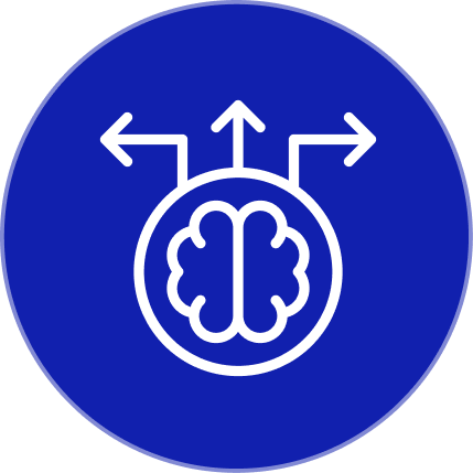
Improved Design Accuracy
Precision-based drafting and intelligent modeling reduce errors, minimize rework, and enhance documentation quality across complex projects.

Enhanced Multidisciplinary Collaboration
BIM-enabled workflows align architects, engineers, and stakeholders within shared data environments for seamless coordination.
Spatial Intelligence & Decision-Making
GIS integration provides real-time geospatial insights for better site selection, infrastructure planning, and asset management.

Lifecycle Visibility
Connected digital workflows support projects from planning and design through construction, operations, and maintenance.
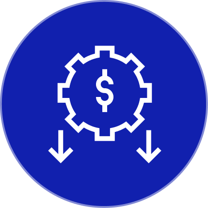
Resource Optimization and Reduced Costs
Automated processes, clash detection, and data-driven insights help streamline execution, improve efficiency, and control project budgets.
Industries We Serve

Architecture, Engineering & Construction
Integrated CADD, BIM, and GIS deliver coordinated designs, clash-free models, and accurate documentation for complex building and infrastructure projects.

Government and Public Sector
Unified digital workflows support capital projects, urban planning, asset management, and transparent governance through accurate, data-driven spatial insights.
Transportation
End-to-end modeling and geospatial intelligence optimize route alignment, safety, capacity planning, and lifecycle management of roads, rail, airports, and ports.

Oil & Gas
Intelligent models and spatial analytics enhance layout design, pipeline routing, safety compliance, and maintenance planning for critical oil and gas assets.
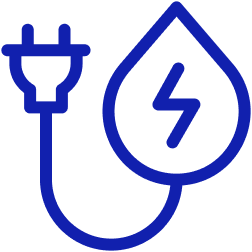
Utilities & Energy
BIM and GIS integration improve network planning, outage management, and asset performance across power, water, and wastewater infrastructure systems.

Industrial Facilities & Manufacturing
Detailed 3D modeling and coordinated layouts streamline plant design, production line planning, maintenance, and expansion of industrial and manufacturing facilities.

Real Estate & Asset Management
Data-rich models and spatial insights support investment decisions, facility operations, tenant experience, and long-term asset value optimization across portfolios.

Smart Cities & Urban Development
Connected digital twins, BIM, and GIS enable smarter city planning, infrastructure coordination, sustainability analysis, and citizen-centric urban services.
Seamless Coordination with Autodesk AEC Collection
Discover how Omnix leveraged Autodesk AEC Collection to deliver a unified ecosystem coupled with best practices and real-time collaboration, helping our client attain seamless interoperability, meet mandated design standards, along with implementation support throughout their project.
We adhere to the highest International Benchmarks
Each certification we hold reflects our unwavering commitment to delivering solutions that meet the world’s most trusted quality & performance standards


